Arctic ERMA® (Environmental Response Management Application)
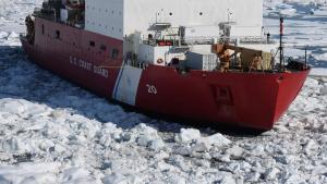
As Arctic sea ice continues to contract and thin, energy exploration and transportation activities will be increasing in the region, escalating the risk of oil spills and accidents. In anticipation, the National Oceanic and Atmospheric Administration (NOAA) and interagency partners are actively preparing for these possible emergencies.
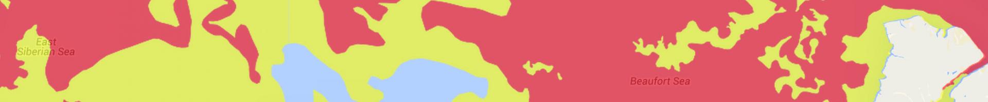
As a result, NOAA and its partners have developed an Environmental Response Management Application (ERMA®) for the Arctic region. ERMA is a web-based GIS tool that assists both emergency responders and environmental resource managers in dealing with incidents that may harm the environment. ERMA integrates and synthesizes various real-time and static datasets into a single interactive map, thus provides fast visualization of the situation and improves communication and coordination among responders and environmental stakeholders.