Image
Tool
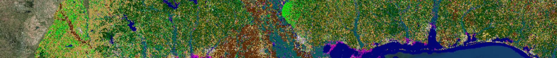
Coastal Change Analysis Program (C-CAP) Land Cover Atlas
This data viewer shows how land cover in coastal areas has changed over time. The user-friendly site eliminates the need for special geographic information system software. The tool summarizes trends such as forest losses or new development, and can highlight specific changes of interest such as salt marsh losses to open water, or evergreen forest losses to development.

