Image
Tool
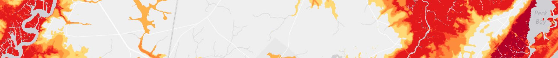
Coastal Flood Exposure Mapper
Access maps showing where people, places, and natural resources are exposed to coastal flooding. Local leaders can use these maps to support a community-based approach for assessing vulnerabilities to coastal hazards. Users simply select their geography to generate a collection of maps for download or sharing online.
The site includes tips for using exposure maps in a community workshop, case studies that illustrate the use of the tool, and resources for continuing risk and vulnerability conversations. Maps are currently available for coastal areas of the contiguous United States, including the Great Lakes, Hawai'i, and islands in the Pacific and Caribbean.
The site can help you
- Start a community conversation about coastal issues
- Show community areas at risk to flooding hazards
- Conduct a local flood hazard exposure analysis
- Access hazard exposure information for a grant proposal
- Prioritize areas for resilience efforts
- Prepare to engage a contractor for technical work
- Incorporate GIS map layers into local tools and models
