Image
Tool
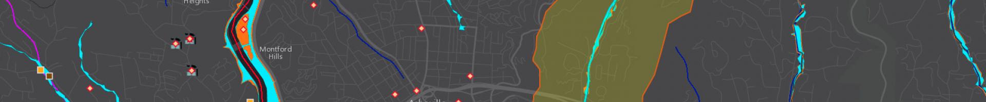
Drinking Water Mapping Application to Protect Source Waters (DWMAPS)
This user-friendly tool can help communities and individuals find answers to questions like:
- Who supplies my drinking water?
- Is the source of my drinking water polluted?
- Are there possible sources of pollution near my drinking water that might be affecting my community's water supply?
- How can I get involved in protecting sources of drinking water in my community?
DWMAPS can provide drinking water professionals, source water collaboratives, watershed groups, and others with information to update source water assessments and prioritize source water protection measures in any location or watershed in the country.
Details
Hazards