Image
Tool
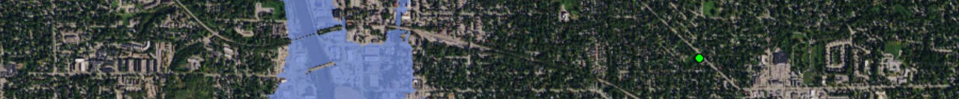
Flood Inundation Mapper
Communities can visualize potential flooding scenarios, identify areas and resources that may be at risk, and enhance their local response effort during a flooding event.
Users can explore inundation maps that show where flooding could occur given a selected stream condition. Users can also access historical flood information and potential loss estimates based on the severity of the flood.
Details
Hazards