Tool
Lake Level Viewer: United States Great Lakes
Description
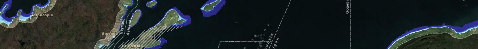
Visualize impacts of increased and decreased water levels in the Great Lakes, or access data and services directly to perform customized analyses. The viewer shows lake level changes that range from six feet above to six feet below historical long-term average water levels in the Great Lakes, along with potential shoreline and coastal impacts.
Communities can use this information to determine what preparations make the most sense in planning for water level change scenarios. Preparations might include zoning restrictions, infrastructure improvements, and habitat conservation. Information obtained from this tool also provides a good lead-in for community discussions about climate change.
Details
Assets