Tool
National Water Prediction Service
Description
The National Water Prediction Service is powered by the National Water Model, a computer system that uses mathematical representations of physical processes such as snowmelt, infiltration, and movement of water through soil layers to simulate the water cycle over the contiguous United States, Hawaii, Puerto Rico and the US Virgin Islands, and portions of Alaska.
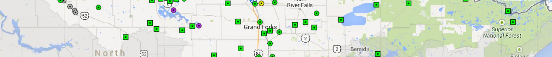
Water prediction services can be viewed in an online mapping tool that offers comprehensive access to NWS products in standard map data formats. The Viewer integrates static and real-time data in a common interface, giving federal, state, and local decision-makers access to data for weather, water, and climate.
The Viewer's User Guide can help you get started with the tool.