Tool
Our Coast, Our Future
Description
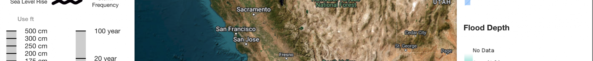
Climate change is increasing sea levels, altering the frequency and intensity of coastal flooding and erosion in many regions of the California coast. To prepare communities and ecosystems, managers and planners need locally relevant tools that help them understand vulnerabilities and plan for action.
Our Coast, Our Future (OCOF) is a collaborative, user-driven tool providing coastal California resource managers and land use planners with resources to understand, visualize, and adapt to sea level rise and coastal storms. It is the platform for data visualization, synthesis, and download of all output products from the USGS Coastal Storm Modeling System (CoSMoS).