Image
NOAA Digital Coast
Tool
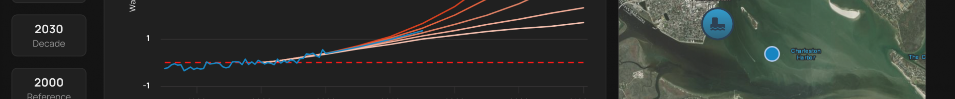
Sea Level Calculator
Access location-specific scenarios for sea level and flooding and information about present-day and past conditions.
Local governments and other practitioners can use the information to make informed decisions about strategic adaptation investments. The site incorporates data, maps, and visualizations and produces automated, location-specific reports. Features include:
- descriptions of sea level change scenarios and visualizations of potential impacts on a map
- water level and flood frequency trends (past, present, and future)
- top 10 flood events for coastal locations
- indicators for what time of year your community is most likely to experience a flood